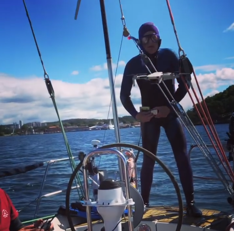
During the summer, a benthic survey was conducted by Erik Prins for the Climate Invasives project in the Stenungsund area on the Swedish west coast. The aim of the survey was to test how well eelgrass versus other benthic types in the area could be mapped. The results from selected sites where transects were made appeared successful and the next step in the process is to calibrate satellite data to the findings. Eventually habitat maps can be produced from the collected information, which later can be used in the modelling of invasive species spread scenarios.
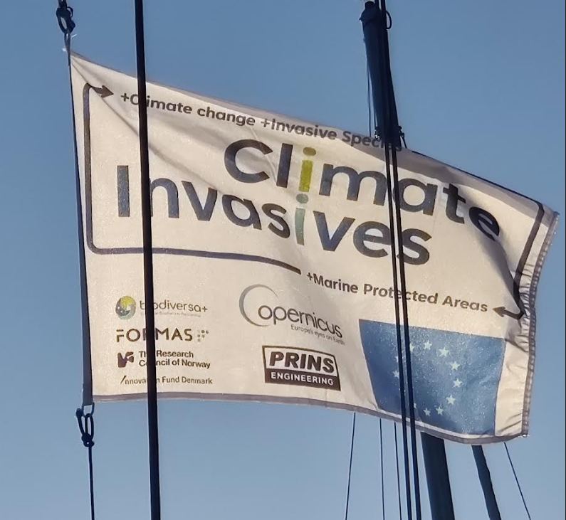
“We hoisted our project flag in the harbours we visited and were approached by a variety of people and nationalities that wanted to know what this was all about.” – Erik Prins